
 Fastest
Private car
The fastest and most flexible option
- ~2 hDirect from Lima
- Km 75Along the Carretera Central
- Fuel + tollsBring cash (indicative)
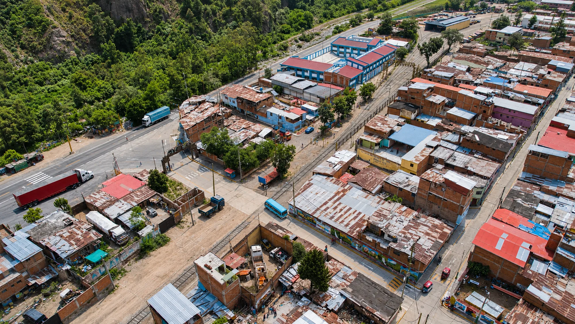
Compare the options for getting to Matucana from Lima and pick the one that best suits your trip. It sits at Km 75 of the Carretera Central, about 2 hours from the city.
~2 h
Approx. time from Lima
Km 75
Along the Carretera Central
2,378 m
Matucana's altitude
27° / 13°
Mild valley climate
FastestThe fastest and most flexible option
Budget-friendly, in two legs via Chosica
 A unique experience
Landscapes of the Central Railway
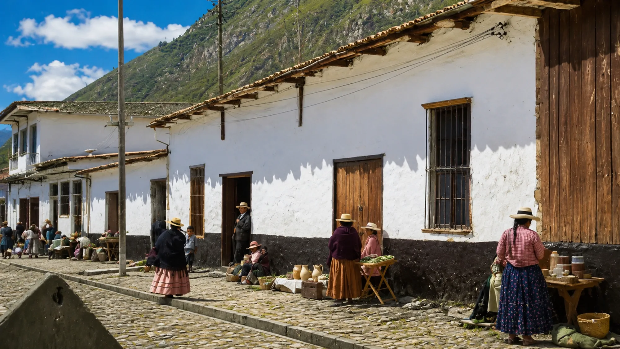
Comfortable if you travel as a group
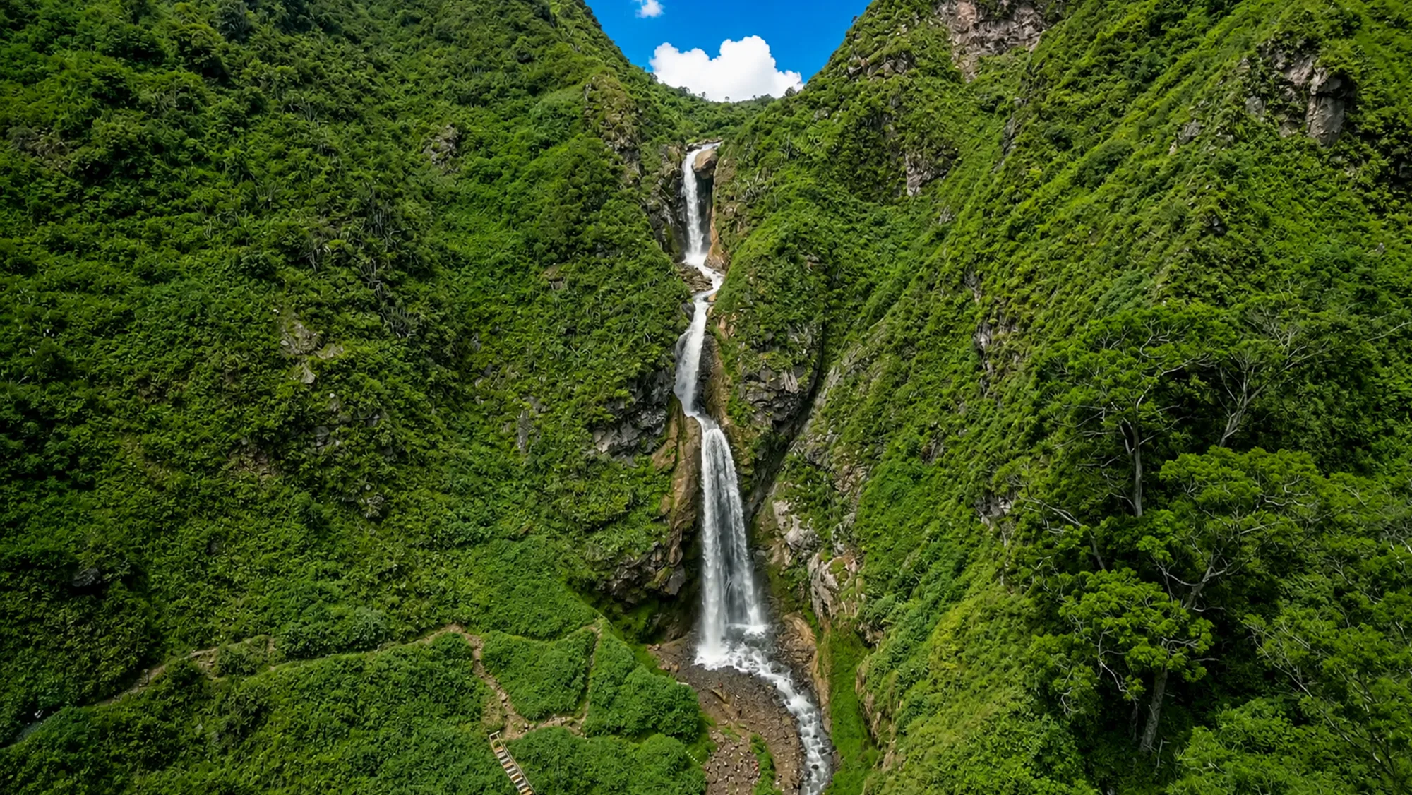 All-inclusive
Convenience, with transport and a guide
Leave early to avoid Lima's outbound traffic (7:00 – 9:00 a.m.) and enjoy the best weather and the views along the way.
We'll help you choose the best option for your budget and your dates.
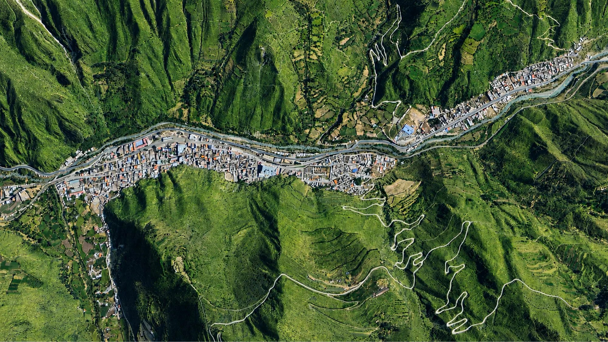
Matucana sits at Km 75 of the Carretera Central, about 2 hours from Lima by car. There is no direct public transport: you do it in two legs through Chosica, roughly 3 to 4 hours in total.
Take a shared 'Lima–Chosica' colectivo or minibus (the chosicanos) from downtown Lima. About 1 hour.
Chosicano ~S/4.50 · colectivo ~S/7 to S/10
Buses and coasters to Matucana leave from in front of Chosica's Echenique Park, climbing up the Carretera Central.
~S/5 to S/6
~ S/ 15.50
One way, on budget public transport
Prices are indicative and may vary. For the car, add fuel and the tolls along the Carretera Central.
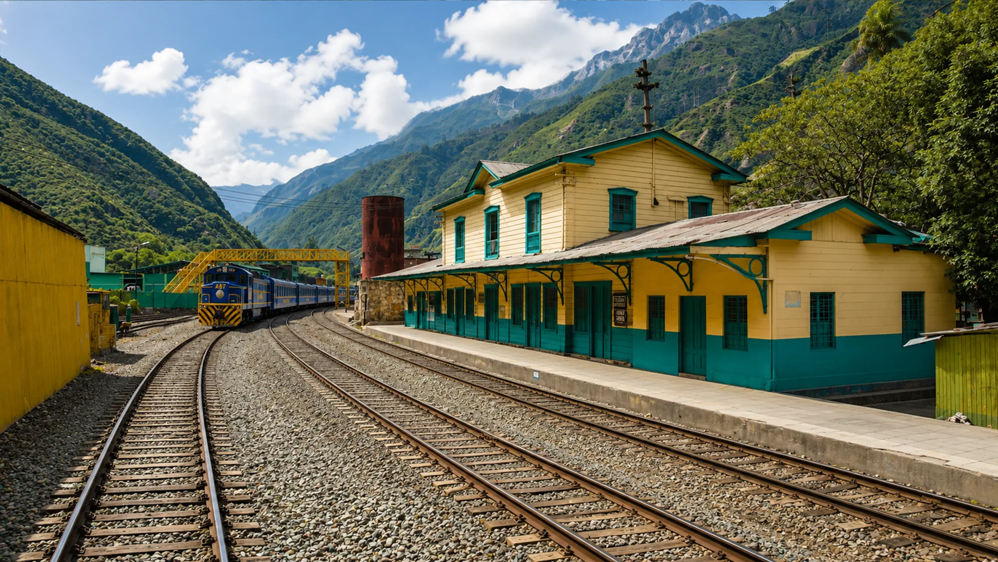
As an attraction (not regular transport), the Lima–Huancayo Central Railway makes a tourist stop in Matucana. The station, behind Plaza Independencia, dates from the late 1890s and its structure was brought from Holland. It runs only a few times a year: it's for the experience, not a quick way in.
Everything you need to plan your arrival in Matucana: budget, timing, climate, altitude and more.
Transport is the bulk of the spend. Country meals and the entrances to the waterfalls are cheap.
Many waterfalls are free to enter; check the day's prices before heading up.
7:00 a.m.
Ideal departure, avoids Lima's traffic
On weekdays
Fewer people than on weekends
Leave early to make the most of your day in Matucana.
A mild inter-Andean valley climate, without the extreme altitude of other Andean destinations.
Best season: April to December
For the waterfalls at their fullest, between January and March (with care on the trails).
2,378m above sea level
A moderate highland altitude. It usually doesn't cause the strong altitude sickness of destinations above 3,500 m; no special acclimatisation is needed.
Could you get soroche? See it hereTolls are subject to change without notice. Check fares and gas stations before you set off.
The climb is along the Carretera Central, passing through Chosica. Only points with a confirmed location are marked.
We'll help you plan your trip in a personalised way.
Information gathered from the official tourism board of the Provincial Municipality of Huarochirí (Matucana) and public sources (Wikipedia, SENAMHI, gob.pe). Prices, hours, routes and dates may change; double-check anything critical before you travel and, for high-altitude routes, go with a local guide.